So this hike followed a night of not sleeping in a tent just down the road from the start of the trail.
We still had to drive to the Trail head which was the same location as a 14er Mt. Bierstadt, so the place was packed. There is no true trail to this mountain and i had 2 options i had read about, one going around the lake on the trail of Bierstadt or driving down the road some and hitting the forest. We opted for the lake, woods make me nervous as i cant see where we are going. That call right there would start the worst hike i have had in years... I will tell the story through pictures, and since my phone died i do not have our track, I only have it on the GPS that i have not figured out yet how to save them with out needing the unit. Im glad we had the GPS as my preloaded marks saved us in the end.
What was to be a 5-7mile trip took way longer and farther.
it took us 9 hrs to go 8.75miles and we gained 3,451ft of elevation.
lets start the tail with many pictures

the lake i was told to hang a left at

into the willows they said to go...

getting stuck in the willows and what i failed to take pictures of was the marshes we ended up in, and the alpine mini lakes we had to get around with the willows...
there was much cursing, Ken was air kicking in frustration, Sierra had to be carried some and we were soaked from head to toe.
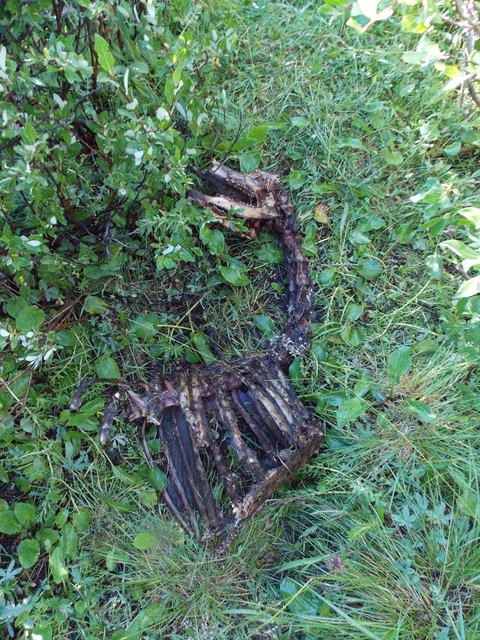
then the random things you find in the willows

I did take this pic, sorry camera was wet, you can see the lake in the far back, that is where we started, you can see the water we had to cross to finally get above the willows, it was about 2 miles through that all.

here is the parking mess

the left is Mt evans with the class 3 saw tooth crossing over to mt Bierstadt, i have done both peaks but not the crossing.

once out of the willows with our socks rung out and our feet drenched we headed up the mountain, it looked like the GPS said to....
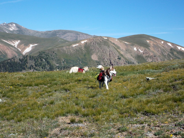
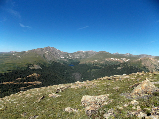
we were camped just below that lake


once to the top of the 3 false summits we realized at 12,959ft we were on the wrong summit!!!!!! this is looking over to where we needed to be:(

Ken descending the wrong peak to get over to the 12,888ft peak

heading over to where we needed to be, over the bump in the center was the true summit


we reached the summit almost 6hrs later at 12:25pm




they were both wiped out i felt like a bad momma, we were also carrying all their weight at this point

my summit shot

clouds were building we could not stay as long as we need to to rest.

looking at our camping lake again from the summit
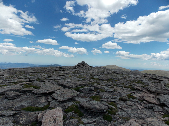
summit marker

time to head back and find a new route home not through the willows

looking at the 12,888ft summit, we were aiming for the mound in the middle to get around having to go up.

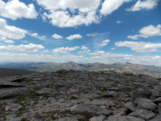
looking back at were we were

Indian paint brush

we found a path below all the ridges we hiked earlier
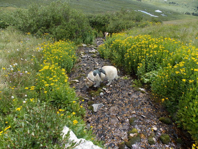
cold water for the pups

we found a few cairen markers

sawtooth again lit up

we stayed about the willows towards the woods


looking to the road we decided to take the woods to the road instead of the wet willows. we had to go down hill and back up to get to the road.
Photos stopped here as well, we had to go over, go under down trees, cross another stream only to get to the top of the forest across from the road to learn there was a ravine between us and the road! we hiked back down till we thought it was safe to descend and cross the water and go back up the hill. we found the road thanks to the GPS where i had marked a possible parking spot on it. I left ken and the pups at the road and hiked up the road to get our car. we were toast, it was an awful hike but we made it safely back and that's all that mattered

from the car looking at the ridge on the left that we climbed that we did not need to climb! you can not see the summit here, it is behind that middle mound

back at camp the pups were out cold

we made dinner

pie iron tacos


and the pups put themselves to bed at like 6pm.
I hope to not repeat a hike like that in a really long time.
Till our next adventure...


