Whale Peak, Colorado, sorry not sure how eddy gets his maps to show up so i gave you the link

http://maps.google.com/maps/ms?msid=216389344331023168113.0004acc0bd782aabd5109&msa=0&ll=39.486158,-105.83147&spn=0.068229,0.125999
Total Distance: 19.38 km (12.0 mi)
Total Time: 7:05:47
Moving Time: 2:56:31
Average Speed: 2.73 km/h (1.7 mi/h)
Average Moving Speed: 6.59 km/h (4.1 mi/h)
Max Speed: 13.38 km/h (8.3 mi/h)
Min Elevation: 2968 m (9739 ft)
Max Elevation: 3975 m (13043 ft)
Elevation Gain: 1387 m (4551 ft)
Max Grade: -2 %
Min Grade: -7 %
Recorded: Sat Sep 10 07:56:24 MDT 2011
We decided to get in one last camping trip this year before fall hits and i think we did it just in time! here is the E all packed and ready to go.


also a thanks to Heather for giving us the Kurgo center blocker for the front seats, it "helps" but does not go low enough to the floor and they can craw under it if we dont stop them in time

We headed up Friday night to the Hall Valley camp ground and took the last of 9 spaces, seems its a big ATV and hunting area. we were a mile from the Gibson lake trail head and the road is very 4 wheel drive and i was not testing the element on that! we set up camp and realized it was COLD!!! we stayed up till about 10 then called it a night.
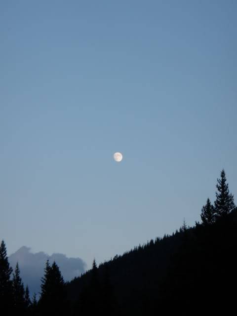
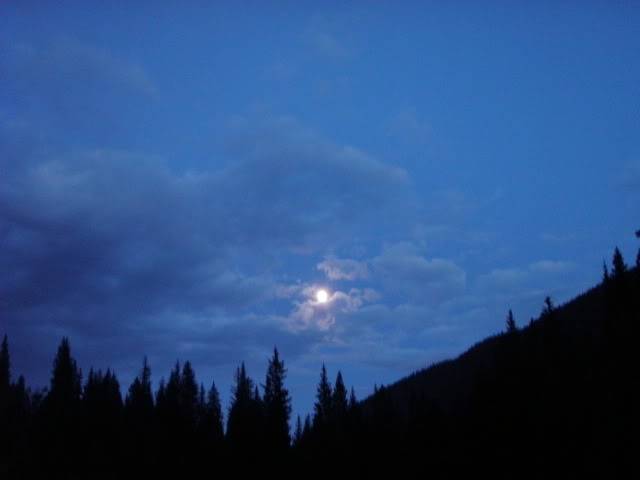
even in my 0 degree bag i was cold at night, we work up at 6:30am to frost on the inside of the tent and all over Sierra as she was walking next to the walls trying to get out. it was a slow go as we were cold but we got geared up and headed up the 4WD road around 7:40am.
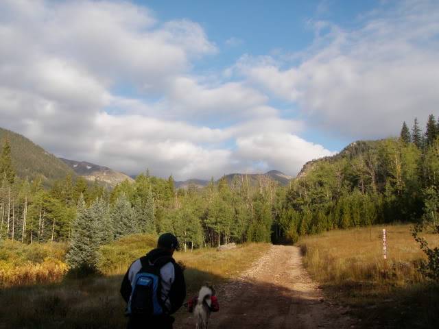
heading up the start of the 4WD

the stream crossing, after that it got real rocky on the road, lots of great camping up till that point and after if your truck can do it.

lots of small critters to excite S&J
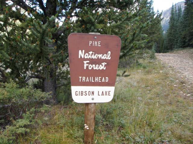
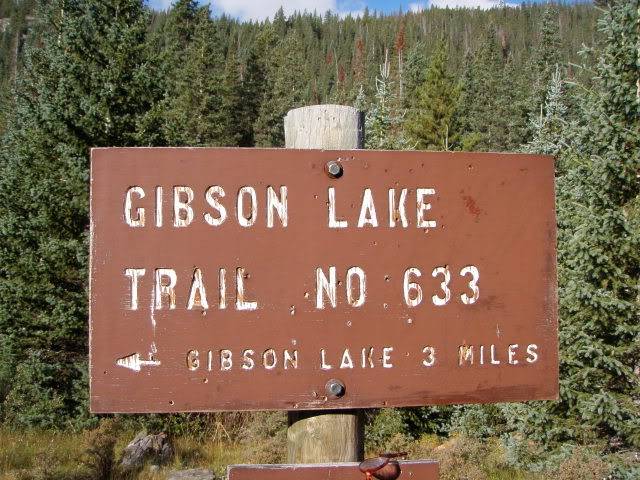
the trail to the lake is mostly in the woods then enters alpine right before the lake

Ken and Jack out in front


a few options for water on the way up.
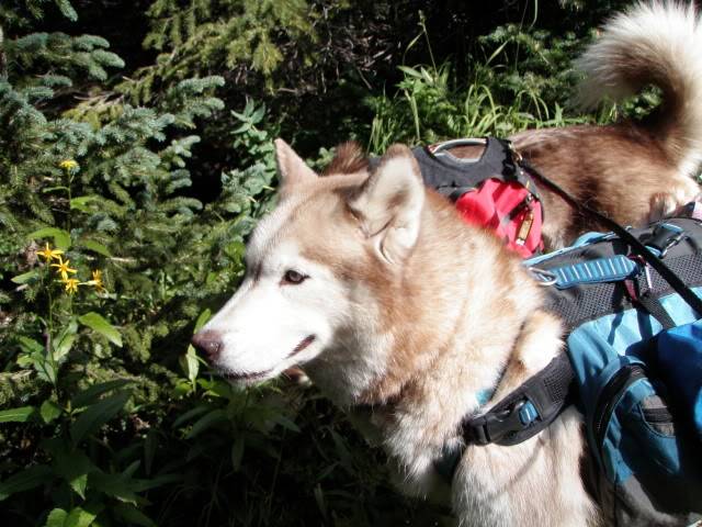

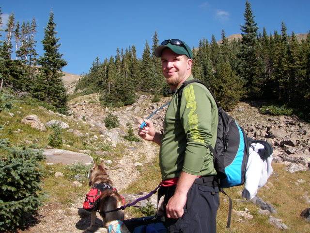
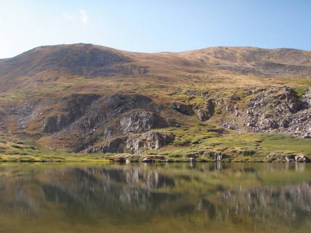
we reached the lake after what seemed to be a long 3 miles!
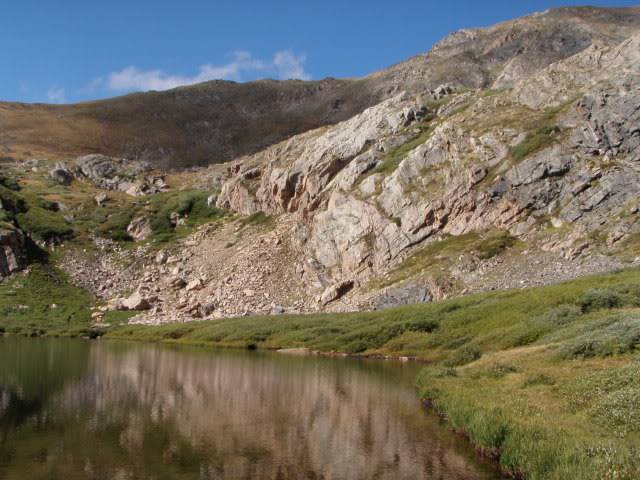
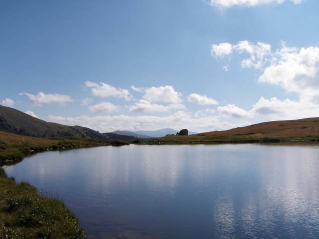

Whale Peak, there is a clear trail to the lake to follow then its make your own route to the summit.
we stayed at the lake to grab a snack and get ready for the last trek.
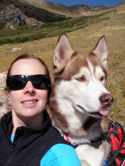
silly boy

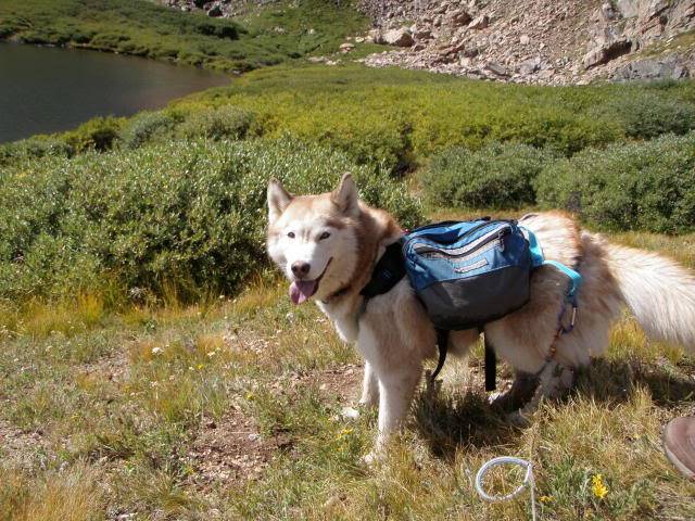
all smiles sierra

the wildflowers have been great this year!
since we were climbing slower then S&J liked i decided to show Ken how well they do off leash, and off they went, but not to far

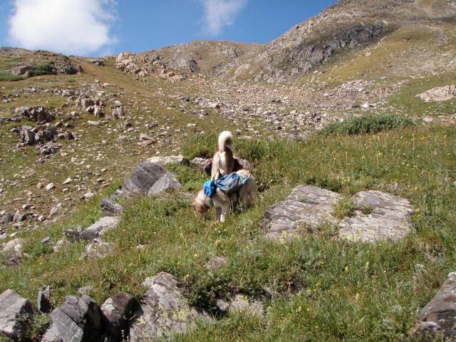
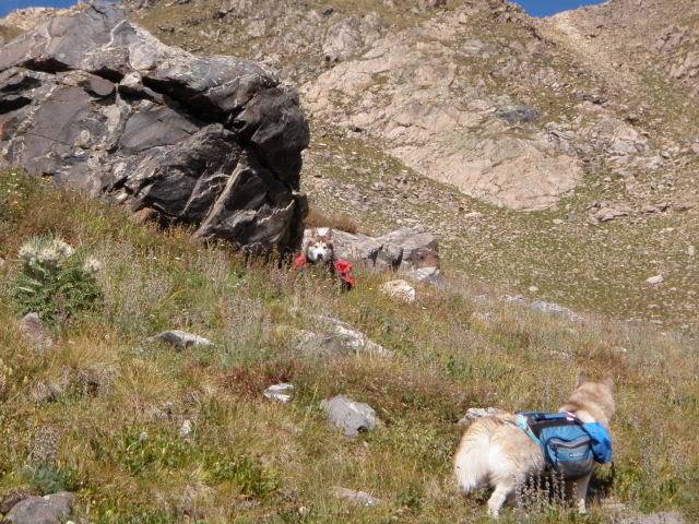
they had fun finding critter poo to eat.
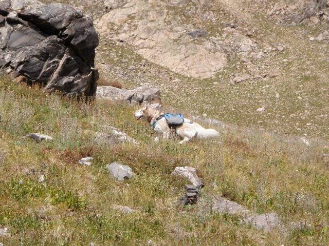
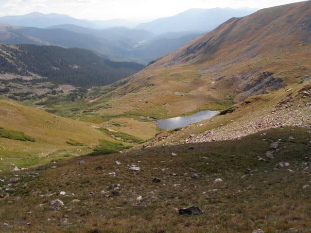
looking back at Gibson lake

Jack waiting for us
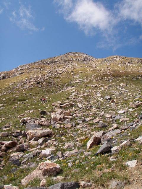
were getting closer to the summit
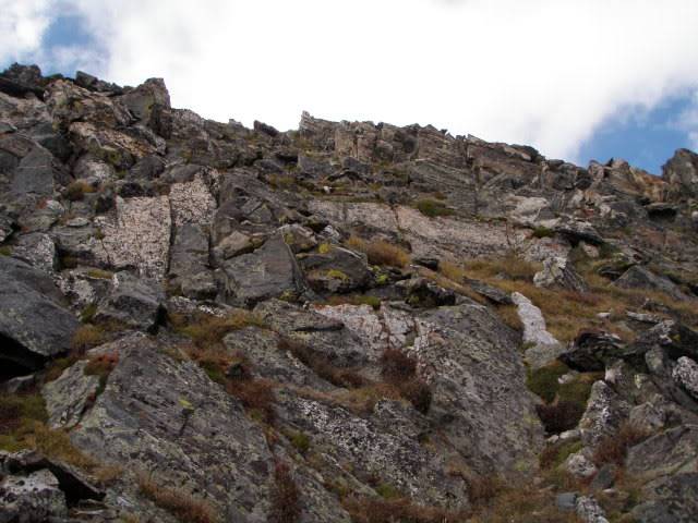
we picked the center route up some rock
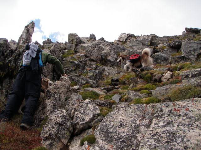
Ken helped Sierra up

SUMMIT! there was a guy that got there just after we did who took our picture.

he was doing the Continental Divide trail and was from PA! he did not stay long and was headed to Breckenridge that night.
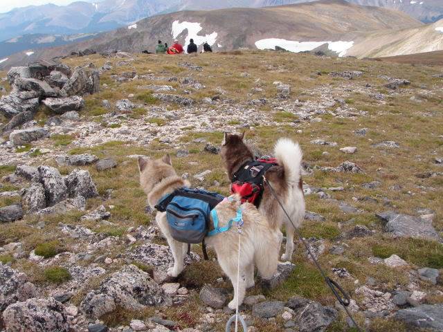
these people were also right behind us on the summit but took a less direct route up

here is Grays and Torreys from my view
and some more summit pictures

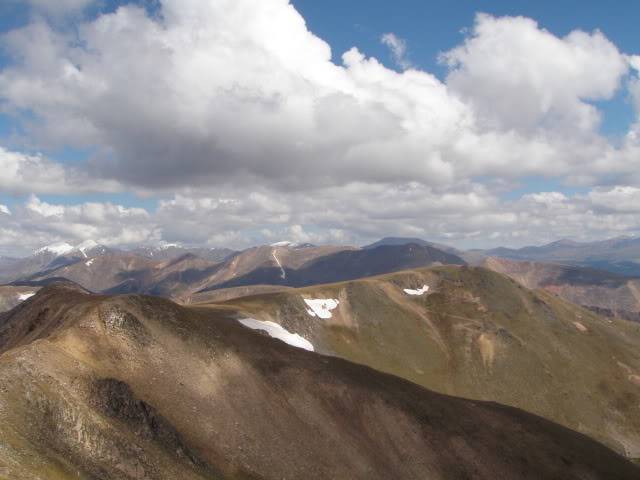
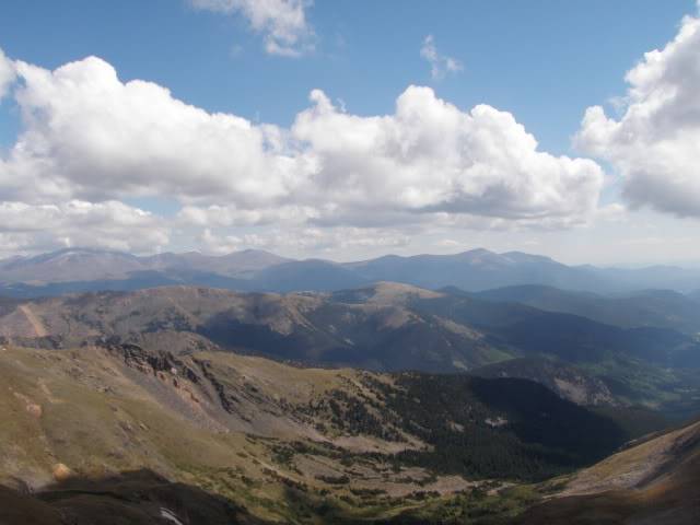
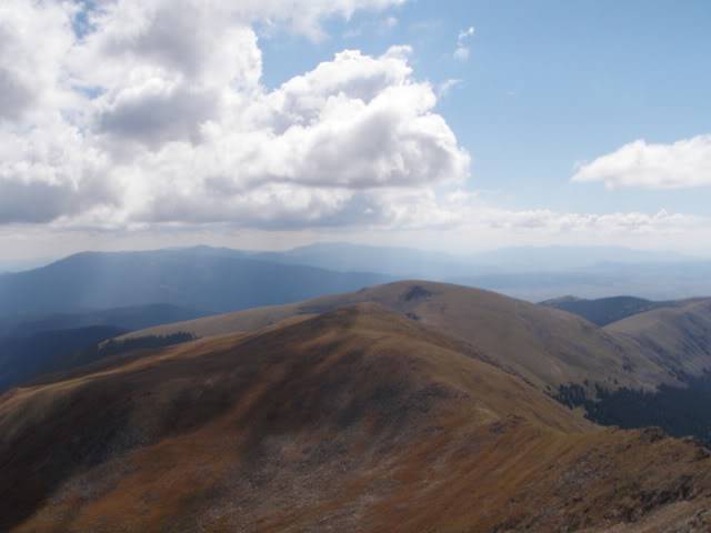
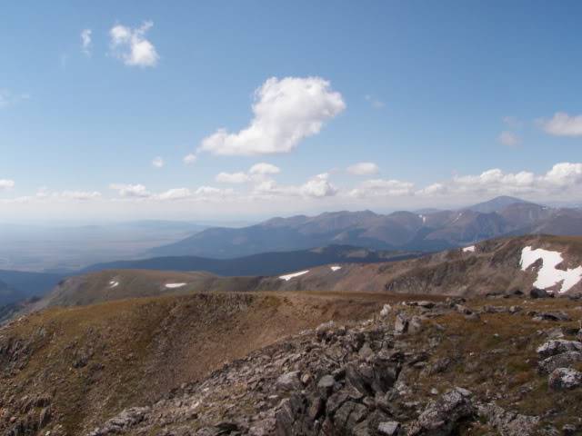
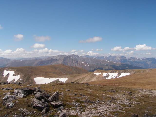

we took an "easier" route down per the peoples suggestion
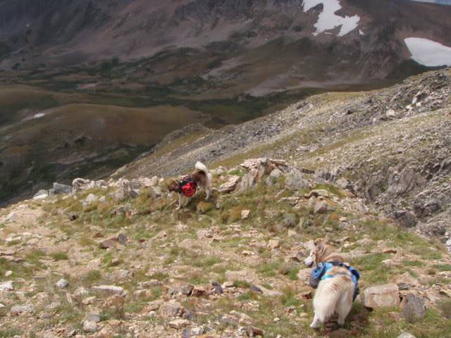

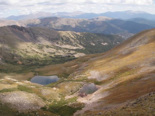
view of Gibson lake and a smaller lake

we made a wrong left and ended up having to make our way down this loose rock
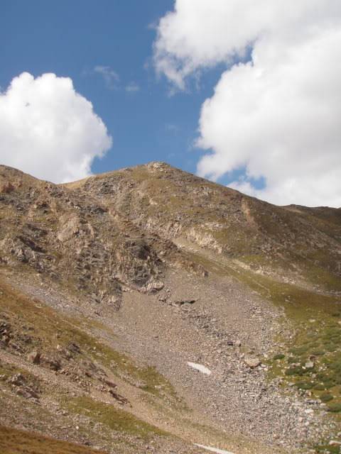

we should have exited at that small peak in the center....
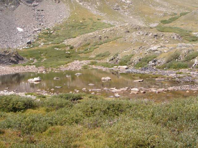
the small lake

Jack was making his own trial, see him in the center....
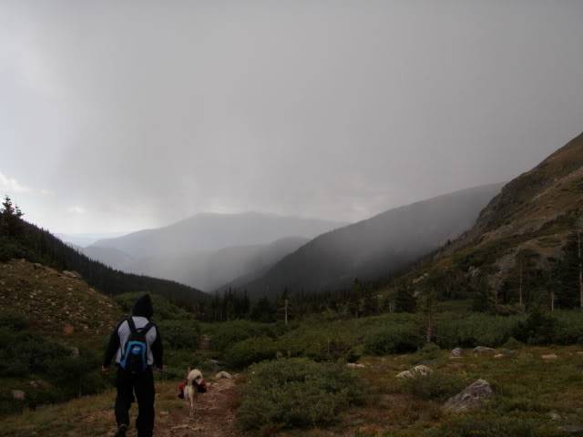
the "weather" we were hoping to not hit....

we got hailed and snowed on, shortly after that i fell good, on a rock... what else in new!
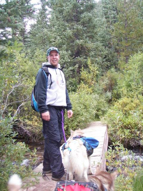
made it back to the bridge and knew the TH was right around the bend!


Aspen are just starting to change

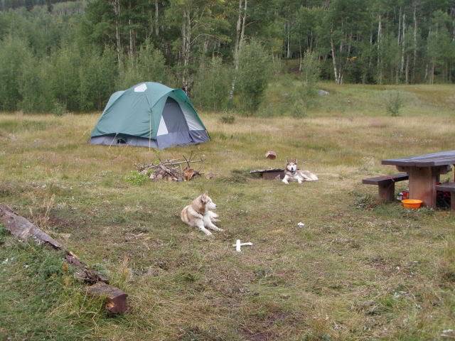
back at camp with some rain, S&J were tuckered out
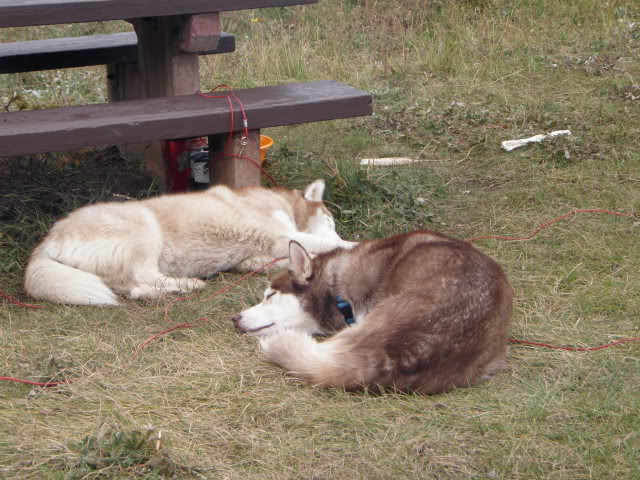
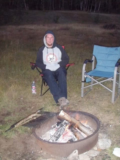
enjoying a warm fire

hope you enjoyed our weekend

we had a good time despite the weather.


